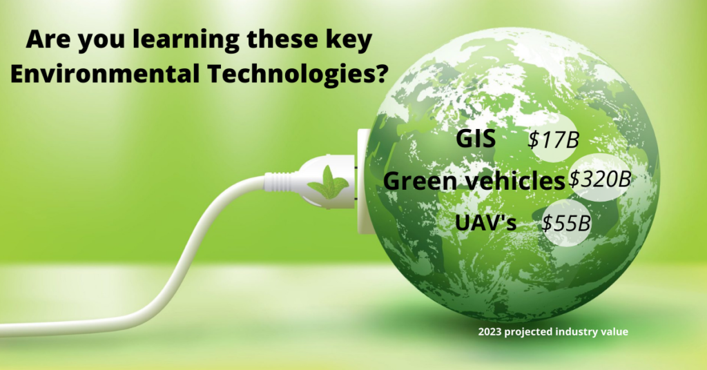
3 Environmental technologies that are trending
Environmental technologies are meant to be helpful to the environment by reducing the negative impact technology has on it. These technologies have been an asset to environmentalists to help in analysis, reporting, and restoration. The environmental field is growing with new investments in protection programs, climate change modeling, and renewable energy. We highly encourage you to read up and learn about adding these technologies to your portfolio. Here are a few key trending environmental tech trends.
Building green vehicles and the self driving car infrastructure
Eco friendly vehicles are the ones that produce less CO2 than regular cars do. Gasoline consumption is one of the biggest contributors to global warming and the number of productions for cars are only increasing. A solution to this problem is environmentally friendly vehicles running on electricity rather than gasoline or diesel. The most known brand of electric cars is Tesla. Parallel to this is the automotive industry making investments in self-driving cars is the future of AI (Artificial Intelligence) as “the amount of money being shoveled into these new technologies has been US $80 billion over the past three years.” (Giffi C, Vitale J, Schiller T, Robinson R, 2019) Now green vehicles are more common and accessible to own as there are about 1.8M registered electric vehicles from 2020 in the USA which is 3 times more than in 2016.
Collecting data quickly and safely using Unmanned Aerial Vehicles (UAVs)
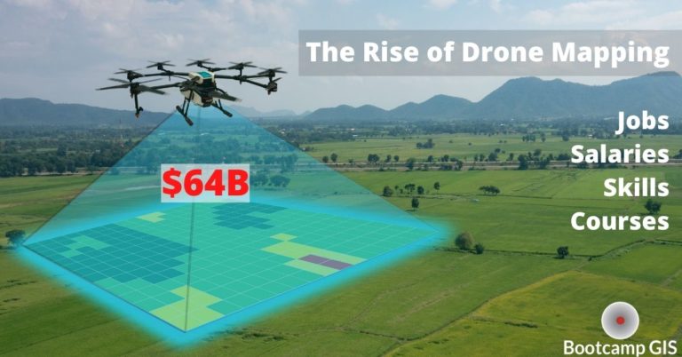
UAVs, also known as drones, fly and serve the purpose of recording and taking pictures from above at vital items like: utility lines, wildfires, crime scenes, and property encroachments. Environmental drone uses are common in the aerial mapping section as they can do several hours of aerial data collection in various types of weather. They are quicker than arranging a plane flight and can go places a regular vehicle cannot pass through. This includes situations that put human’s lives in danger like wildfire burn areas. A new feature that is in beta right now is delivery services to your front door. Drone mapping is on the rise as a $64B industry so it’s a marketable skill to know how to implement a UAV data collection flight path.
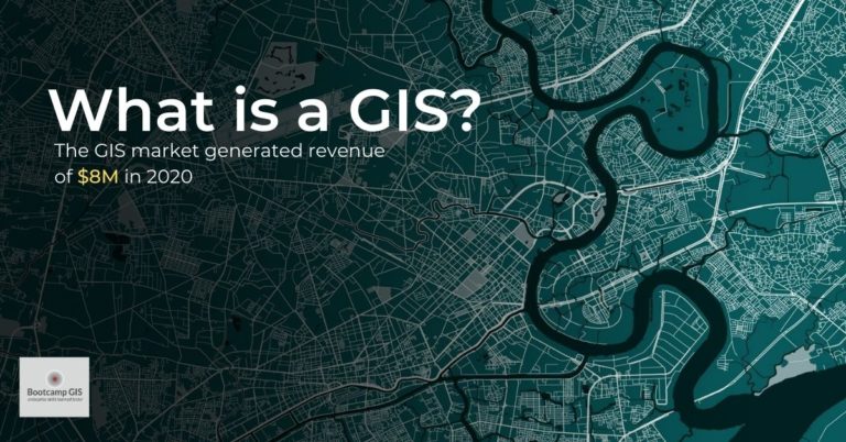
Using Geographic Information Systems (GIS) to analyze environmental data
Geographic Information systems are the data and analysis platform for both UAVs and modern transportation. Once a UAV has collected imagery, then it needs to be processed as new layers with a GIS that can analyze the imagery relative to other known features. An example might be to identify overgrown vegetation in relation to utility structures and private property. This allows either a work order or a communication to a private property owner to address the overgrowth. In our second example, modern car navigation functions with GPS. But as self-driving cars become implemented, this location has to be connected to known stop signs, street lights, yield signs, charging stations, and even speed bumps. There are lots of things that we mentally process and are tracked in a GIS. Therefore, there are lots of projects and jobs available to create an accurate geographic data platform.
There are GIS courses you can take that will improve your knowledge or you may need a complete GIS certificate if you are a novice. Shop the Top 10 rated GIS programs and find one that fits you.