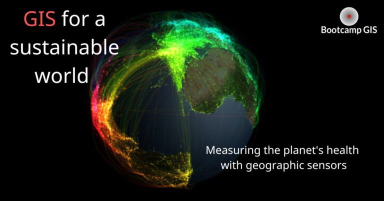
GIS Benefits: Use-cases showing excellent ROI
GIS managers at every level are faced with defending funding needs for their programs. For bigger organizations, it’s a line item but for smaller organizations it becomes a spreadsheet and possibly a defense of costs. The concept of listing costs and defining Return on Investment (ROI) is possibly an overlooked skill. The best managers can systematically make their case using numbers that describe the benefits of their programs.
The Tools to define ROI
Maybe you have to defend your budget on an annual basis. Or you might have to project forward with a strategic plan of 3-5 years. Either way, you should be justifying your budget not only with expenses, but stakeholders and cost savings. Some of the methods to do this are:
- Stakeholder contour diagram – Allows you to show all of your GIS users
- GIS benefits assessment – Allows you list the benefits in time and money for each stakeholder group
- Total cost of ownership calculation – Allows you to list all one time and recurring costs associated with your GIS.
- Cost recovery calculator – Allows you to itemize the costs versus savings for each proposed GIS solution.
- Service Ownership Sprint – Allows you to define responsibilities / timeline in producing a GIS solution
If you want a head start in doing this well, here are two courses that GIS managers and Architects can take to get access to these and other business GIS templates.
You can also learn from other programs how they describe the benefits of their programs. Here are a variety of use cases that proved excellent value for their organizations.
GIS benefits military funding
Imagine large AirBases with a set amount of funding to manage millions of assets. Thanks to GIS benefits, many bases sustained a safe environment while helping to discover extra funds for infrastructure. For example, Hurlburt Field, an AirBase in Okhaloosa County, uncovered an inaccurate amount of physical assets which followed with extended funding of $2.27 million. Every 5 years there are micro inspections on the base, but with the help of GIS they were able to go through the macro level to find discrepancies by correctly accounting for assets.
Similarly, Luke Air Force base received an extra 10% bonus on their infrastructure fund by correctly accounting all their assets into their system 3 months ahead of schedule. GIS has proved to be better at tracking asset inventories versus disconnected databases and spreadsheets.
GIS improves city government spending in the US
The ROI in municipal cases are at an even larger scale. A study was conducted comparing the municipal spending in King County, Washington, with GIS vs without. Municipal spending is used for things such as simulating environmental conditions, emergency response planning, crime analysis, and transportation planning. The study concluded that in a period of 18 years, GIS contributed to a net benefit of $775 million with an expenditure of only $200 million giving a high ROI.
In Philadelphia, the government used GIS software to execute their LED Traffic Lights Project. This project would replace 87,000 incandescent lights with more environmentally friendly LED bulbs. The overall return proved to be higher than the investment of the project since there is now notably lower usage of electricity within The City of Philadelphia. They concluded that their yearly savings would be over $1 million. When cities find this extra funding, they can be allocated to other important areas such as healthcare and education.
GIS helps businesses by organizing the data
The commercial sector relies on ROI to stay profitable. An example is iForte, a fiber network operator, who’s return on investment was an incredible 203%. They modernized their data records by removing their outdated paper records and replacing them with digital records using GIS. This was a huge benefit to the company because maintenance waiting times led to unsatisfied customers and wasted company time. But, through GIS, they were able to create a digital server that pointed to where problems were happening in real time.
Many utility companies around the United States also see a great ROI by preventing lawsuits after periods of power outages, saving them over $115 billion a year. GIS allows utility companies to view accurate location data when these instances occur.
Conclusion: GIS can be shown to save money rather than costing money
Overall, GIS benefits have a large outreach since it is central to various running organizations. This is because its use is so broad and is only expected to rise over time. () It can be used in many industries such as governmental, military, and even smaller businesses. The use of GIS has also proven to only benefit those who implement it, showcasing excellent ROI by saving money that can be used for a wider reach. Those agencies that invest in people to run the technology and architecture are seeing the most benefits. A good idea is to look at your staffing and training plans to ensure that the latest GIS skills are being utilized. Modern blends of IT and geography can be seen in the new GIS certificate programs that can be consumed quickly and inexpensively online. It can save you a lot of money to upgrade your talent rather than replace them which is an HR ROI article for another time.