How to get a GIS job: story of a college student
Relying on my geography degree? Bad idea.
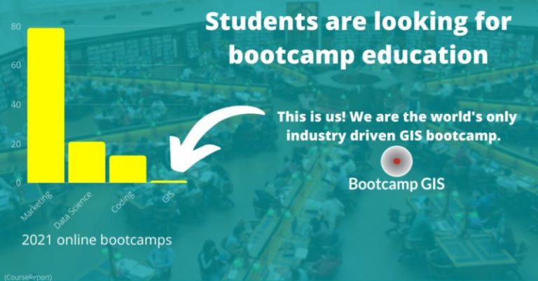
While college is a great atmosphere for learning, I am finding that just having a geography degree will not get you that dream career in GIS. University curriculums are limited by software, applications, and scalability. Geography degrees are in need of modernization. Even in classes where there are applications and projects, these are typically in junior or senior year level courses. I’ve attended career fairs but the college only got a couple local companies to attend. I asked a professor for advice and the reply was “go to graduate school.” But many of the courses I have already taken. My goal is to get more applied experience. Then I found some project-based GIS courses from Bootcamp GIS which are designed to replicate industry projects which feels so much more practical.
GIS experience required to get a GIS job
While your degree can be helpful to speak to your education level, it says nothing about your skills in GIS. Because of this, you have to be ambitious on course projects; push the boundaries of your skills and learn something new. Your projects are the true representation of your skills, not your degree. One way to demonstrate project skills is through internships. You get real world experience and connections which is a key stepping stone to getting a GIS job. These experiences will help you better decide where in the field you want to land such as private, government, or non profit organizations.
Networking within the GIS industry
Networking is a huge benefit to your career in GIS. Building a GIS network pays long term dividends. In addition to meeting other people in the industry, you can actually read their articles on Facebook and LinkedIn groups. If you connect with local user groups, then you’ll meet the organizations that use GIS near you. When you have made a personal relationship, people are more inclined to tell you of job opportunities. Another good idea is to write articles that explain your projects and interests and post them. Employers who look at your profile will see that you have thoughts about the industry and can present the value of GIS. They will need you to do this in their jobs.
Start maturing your GIS identity
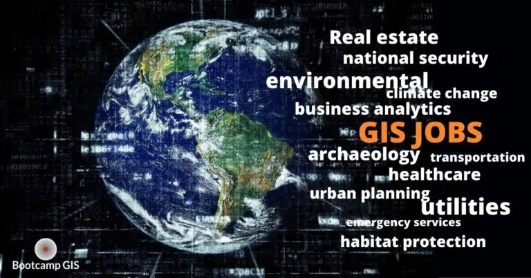
It’s a good idea to think about what kind of GIS work would make you happy. Do you want to save habitats? Or do you want to protect the nation? Knowing your identity and goals will help you find the best area for you. In addition, you also need to be honest with yourself with the cultural fit you want in a company. If you take a job based on the money, you might find yourself searching for another job sooner than you think. And finally, a key place to brand yourself is your LinkedIn profile. This is usually the number one search engine listing if someone Google’s your name. If it sucks, employers are going to take one look at it, and move onto the next candidate. Here are some tips to make your geospatial resume stand out.
Identify which GIS job skills that companies are hiring
While knowing GIS software is great, companies are looking for a lot more skills as part of your portfolio. There is an emphasis on using informational technology with your geography skills. While viewing jobs for GIS you have most likely seen a requested skill that was never taught in your courses. Each new job title (and salary) comes with more skills to be learned. How do you want to learn these skills: from a professor whose curriculum is out of date, or a subject matter expert who uses these skills everyday? You can learn how to use build a map server on AWS, create health dashboards, or even learn how to use a drone for data collection. Once you know these skills, be prepared to keep learning because the technology is always changing!


