Kids map the earth
A fun new STEM program for K-8
Who is this for and what is GIS?
This mini-tech bootcamp is designed for 1st – 8th graders who know how to handle a mouse on a chromebook. If you are interested in seeing the world through digital maps, then this will give you a peek at how we use data and maps to make better decisions. We expose kids to the amazing science of Geographic Information Systems (GIS) that is used for Google Maps, Zillow, and 3D Modeling. You will perform GIS mapping online and give you a sense of what a career in GIS looks like.
Our Classroom Experience
Project skills in:
environmental, mapping, and technology
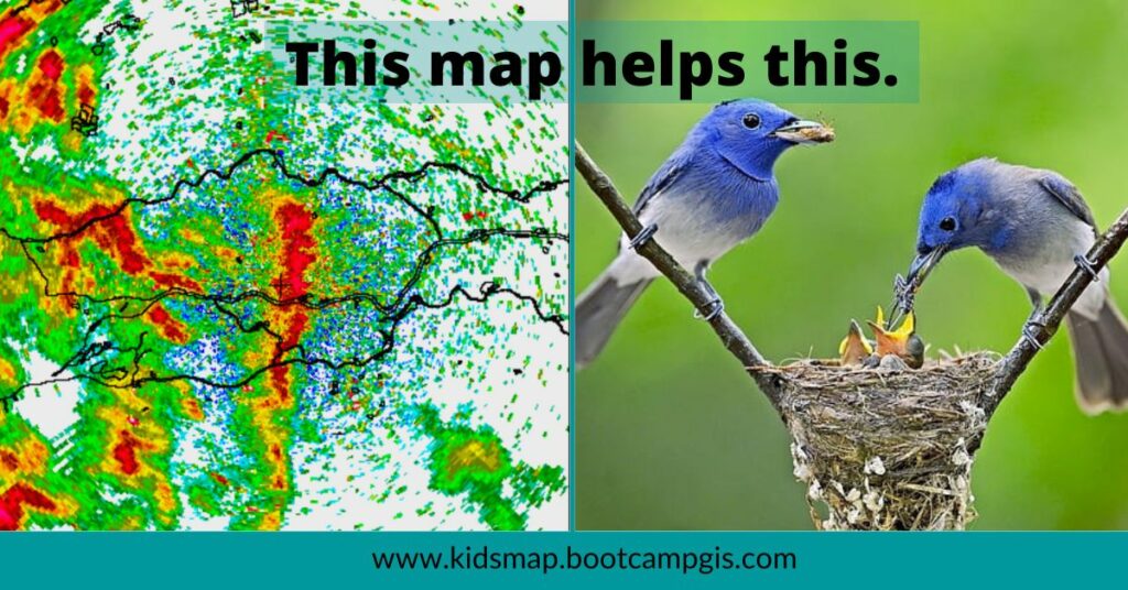
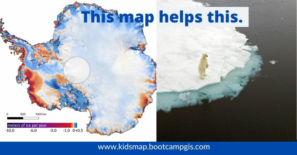
Environmental Factors
People that care about protecting the landscape often pursue a degree in environmental science. Data about water, vegetation, and animals is now important for decision management.
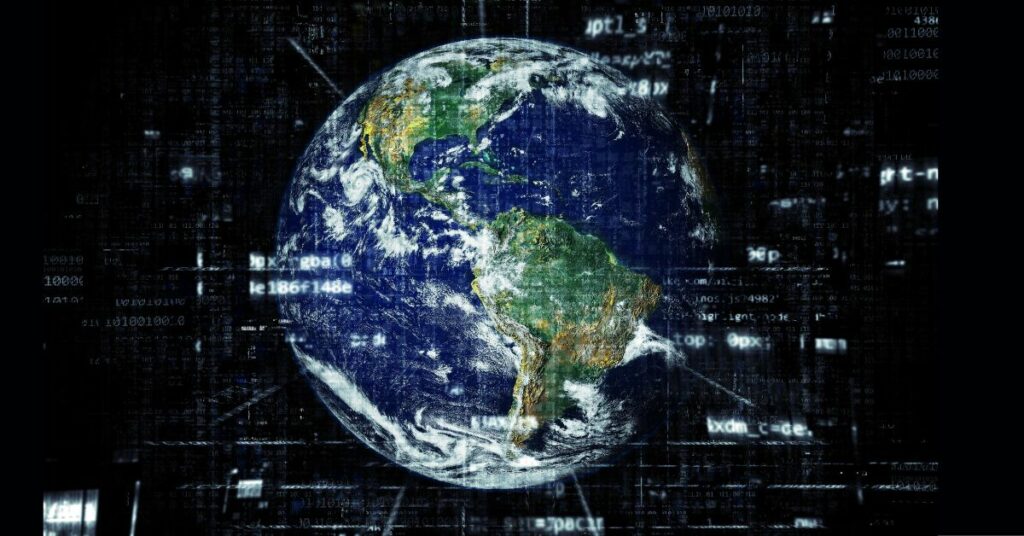
GIS Mapping
Most organizations use a Geographic Information System (GIS) as the central resting place for their data. You can use geographic visualizations to easily show WHAT is happening WHERE. In this map camp you will learn how to make a digital map and learn what does a GIS analyst do.

Technology
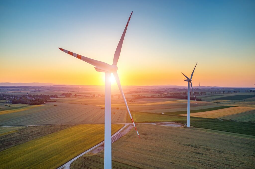
We have the benefit of using new forms of technology to monitor and protect the planet like satellites, UAVs, and mapping software. You can learn how technology supports any planning process or study larger issues such as mapping climate change.
FAQs
Curriculum
Our program will teach mapping projects in 8-12 week course offerings where you will learn to:
- Map your neighborhood
- Create a Google photo map
- Utilize high tech mapping
- Discover your water source
- Map the Ring of Fire
- Track animal behaviors
- Navigate through a wildlife safari
- Explore the Digital Atlas of population
- Create a 3D flythrough map
- Find the world’s fastest roller coasters
- Turn your map into a story
- Polish your storymap portfolio
Call us to set up a class
(855) 698-2555