Article | Certificate Programs | Education | environmental | GeoAI | GIS | GIS Certificate | GIS Jobs | GISc | Mapping | Uncategorized
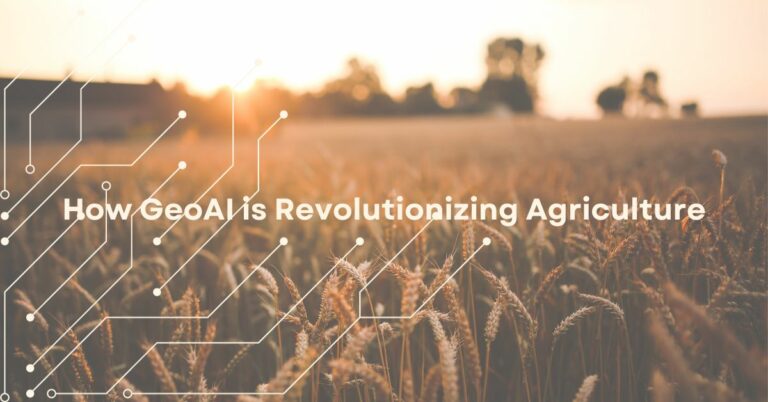
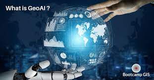
The rise of powerful GeoAI applications
GeoAI is continuing to evolve as a new frontier in spatial data analysis. Machine learning hand in hand with deep learning capabilities allow us to quantify big data more easily.