 GIS analysts are critical thinkers who interact with other industry experts from around the world.
What does a GIS analyst do?
What is a GIS?
A Geographic Information System (GIS) is a set of mapping software tools and workflows that helps people make visual decisions. The GIS industry has continued to grow according to the Department of Labor with an annual growth rate of 19%. As GIS becomes increasingly crucial for everyday life to people all around the globe, GIS analyst are tasked with rearranging huge amounts of data and presenting it to different industries. GIS analyst salaries are on the rise since their roles in data analytics and web serving are pivotal to their organizations.
A day in the life of a GIS analyst
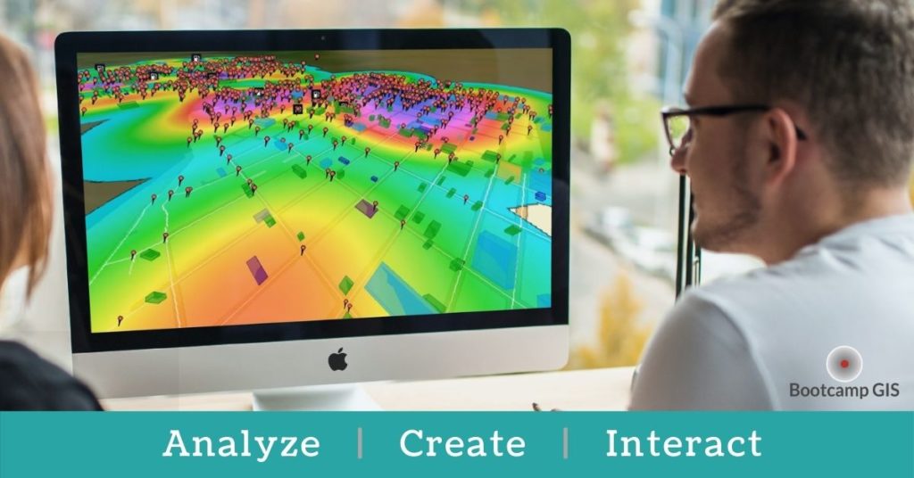
GIS analysts have a variety of tasks every day. Going out into the field and collecting descriptive attributes for different locations is often the first step in a GIS workflow. As they compile large amounts of GIS data, analysts also store and maintain the information in geographic databases. After collecting the data, the analysis begins. GIS analysts do data editing, create spatial models, and create map layouts. There is a technical workflow that they follow to eventually create the maps seen on Zillow, COVID Dashboards, and your City’s Zoning maps. In addition to the map, final products can be tables, stats, and reports that their stakeholders need.
People skills are also necessary as they present and interact with endusers include taking map requests and further educating them about GIS. Collaborating within teams and sharing important information is often a common occurrence when dealing with huge projects. They also travel to GIS conferences to network and present their projects. The largest GIS conference, created by Esri, in located in San Diego every year and continues to evolve as GIS technology grows.
GIS analyst average salary
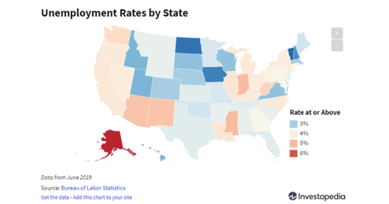
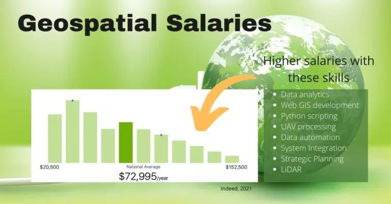
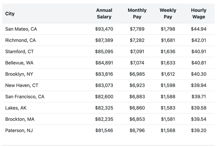
As one of the quickest growing tech sectors, companies have been finding a shortfall in talent. The average GIS analyst salary is $72,444 as of 2021. But if you are able to focus on the higher level roles that work on application development or cloud architecture, you could be in the top 2% earning in the range of $116,000 – $124,500. GIS analysts are needed in every city, state, and federal agency. The top cities that pay the highest for GIS are San Mateo, CA and Richmond, CA. Here is some salary data for some others.
Learn ArcGIS
GIS analysts that come from geography degree programs will be equipped with geographic knowledge, but the GIS job market is open to students of different disciplines who want to use these tools with their data. Learning ArcGIS is an important first step in launching yourself into the market. ArcGIS software is made by Esri and is essential for GIS novices since it is used by the majority of organizations around the world. Enrolling in a university geography program is a common path to learning the GIS discipline. But if you want a shortcut, you might want to just learn applied GIS courses within an online GIS Certificate instead. Certificates allow you to learn ArcGIS via short courses in areas like:
- Python data processing
- UAV image collection
- Web maps for forestry
- Dashboards with health metrics
- Map products for construction
See a learning timeline to earn your GIS Certificate within 6 months. Look for applied courses and internships to give you hands-on experience that replicate real examples of GIS from industry experts. The tech industry is a skills based industry, so if you can show what you know, you have a great chance to be hired.