
Top 10 GIS Conferences
Delve into the world of GIS through conferences. Meet like minded individuals in the field of geospatial technology.
Delve into the world of GIS through conferences. Meet like minded individuals in the field of geospatial technology.
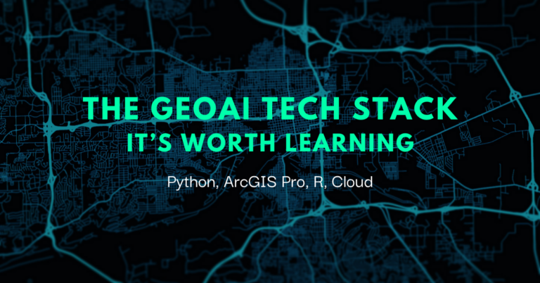
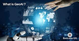
The GeoAI tech stack – It’s worth learning How Does GeoAI Interact With Tech Stacks? In the ever changing field of technology, innovations such as GeoAI are reshaping our interactions with traditional geographic data. GeoAI is the fusion of Geographic Information Science (GIS) and Artificial Intelligence (AI). By combining the spatial prowess of GIS and the…

GeoAI is continuing to evolve as a new frontier in spatial data analysis. Machine learning hand in hand with deep learning capabilities allow us to quantify big data more easily.
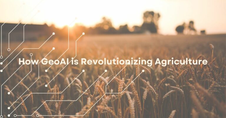
Learn how farmers are utilizing the latest in geographic artificial intelligence to increase crop productivity and feed the world.
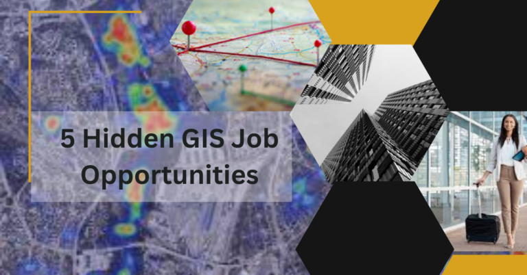
GIS is applied in many vertical industries and here are some tips to look for jobs in these lesser known areas.
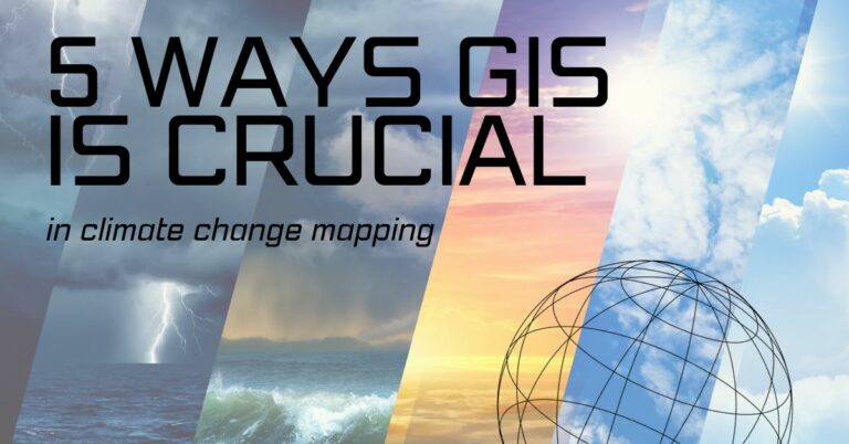
GIS is an indispensable tool in understanding and monitoring extreme weather events worsened by climate change.

GIS Programs Online play a crucial role in improving healthcare by providing a powerful framework for mapping, analyzing, and visualizing geospatial data related to health. Here are some specific ways GIS Training can contribute to enhancing healthcare: 1. Healthcare Resource Allocation: GIS can help healthcare administrators and policymakers optimize the allocation of resources such as…
GeoAI combines geospatial data with artificial intelligence (AI) techniques. It has tremendous possibilities and applications across these fields: 1. Urban Planning: GeoAI can aid in urban planning by analyzing geospatial data such as population density, traffic patterns, land use, and infrastructure. It can assist in determining optimal locations for new developments, identifying areas prone to…
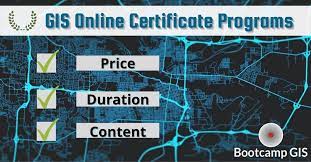
If you’re pursuing a GIS (Geographic Information Systems) Online Certificate Programs, there are several essential skills you should focus on developing. Here are five key skills that are commonly sought after in the GIS Training field: 1. Spatial Analysis: Spatial analysis involves examining geographic patterns, relationships, and trends within datasets. It encompasses techniques like overlay…
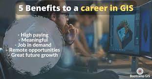
Several types of GIS Certificate Jobs often involve meaningful missions using the latest technology. Here are three industries where GIS is applied: Environmental Conservation and Sustainability technology Many organizations and government agencies employ GIS professionals to work on projects related to environmental conservation and sustainability. These jobs typically involve using GIS technology to analyze and…
The world’s only GIS certificate program where industry experts teach you what they do to help you win a job in GIS.
| Cookie | Duration | Description |
|---|---|---|
| cookielawinfo-checkbox-analytics | 11 months | This cookie is set by GDPR Cookie Consent plugin. The cookie is used to store the user consent for the cookies in the category "Analytics". |
| cookielawinfo-checkbox-functional | 11 months | The cookie is set by GDPR cookie consent to record the user consent for the cookies in the category "Functional". |
| cookielawinfo-checkbox-necessary | 11 months | This cookie is set by GDPR Cookie Consent plugin. The cookies is used to store the user consent for the cookies in the category "Necessary". |
| cookielawinfo-checkbox-others | 11 months | This cookie is set by GDPR Cookie Consent plugin. The cookie is used to store the user consent for the cookies in the category "Other. |
| cookielawinfo-checkbox-performance | 11 months | This cookie is set by GDPR Cookie Consent plugin. The cookie is used to store the user consent for the cookies in the category "Performance". |
| viewed_cookie_policy | 11 months | The cookie is set by the GDPR Cookie Consent plugin and is used to store whether or not user has consented to the use of cookies. It does not store any personal data. |