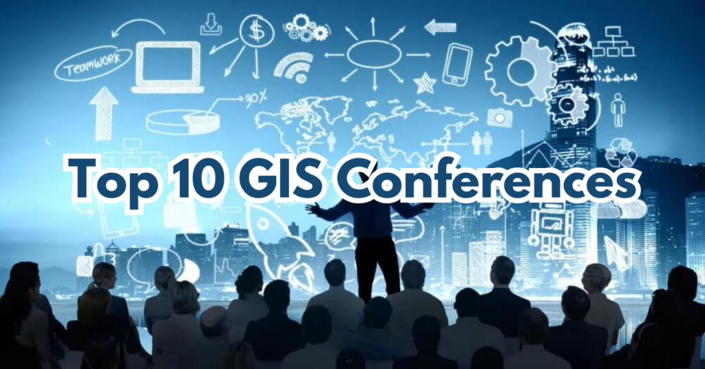
Top 10 GIS Conferences
GIS Training and Networking
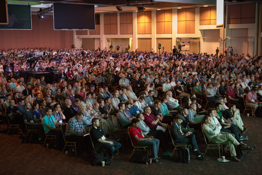
GIS conferences serve as platforms for professionals, academics, and enthusiasts. As a result, during conferences they may exchange ideas, network, and stay up-to-date with the latest in geographic information systems technology. Conferences often encompass an array of topics that range from remote sensing to spatial analytics to geospatial data science. By attending these conferences, you can find an abundance of opportunities for networking within the field, receive training from industry professionals, and gain insights into emerging trends. The experience will surely be indispensable for anyone interested in GIS. So consider attending these conferences.
Why Should You Attend?
The list of reasons to attend a GIS conference is extensive, but I’ll focus on my top three.
Networking opportunities. There is no better place to be if you’re in search of a job in the field of GIS than at a conference. GIS conferences bring together professionals from a variety of sectors. Including but not limited to government, academia, industry, and non-profit organizations. These conferences offer an advantageous and friendly environment for networking. It allows attendees to connect with peers and establish collaborations. Also, you can engage in a friendly exchange of ideas with both enthusiasts and experts in the field.
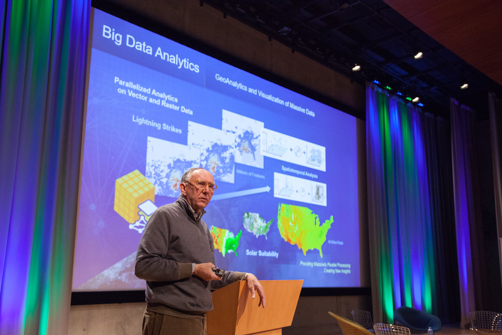
Keeping up with current and relevant technology/trends. GIS is a field that’s constantly evolving, with new techniques, methodologies, and applications popping up regularly. GIS conferences thus provide a platform that allows you to stay updated. Whether that be the latest industry trends, new research developments, and any policy changes. That way, conferences ensure that attendees remain at the forefront of the field.
Collaboration for problem solving. By offering a common ground, conferences provide a forum for attendees to discuss challenges, share experiences, and brainstorm solutions. Specifically, for and with fellow GIS professionals. By engaging in collaborative discussions you would be able to see things from new perspectives. Which is necessary in order to address issues in the field.
Top 10 GIS Conferences
I’ve outlined the reasons you should participate in GIS conferences. Now, here are my suggestions for the top 10 conferences you should attend:
1. The Esri User Conference
Is one of the largest gatherings of GIS professionals and academics in the world, taking place in San Diego from July 15-19. During the conference you can explore the Map Gallery, chat with technical experts, and learn about the most recent products and solutions in the Expo and Esri Showcase.

2. Gamma Iota Sigma’s
53rd Annual International Conference on geographic information systems will be in Indianapolis, Indiana, from September 26-27. The conference will offer 90+ exhibitors, hundreds of interviews for internships and entry-level jobs, keynote addresses, and much more.
3. The Esri Developer Summit
will be held from March 12-15 in Palm Springs, California. This conference is dedicated for developers, by developers, and offers the opportunity to show you how to build cutting-edge apps using advanced mapping technology. Additionally, you can explore hundreds of hours of technical workshops and sessions.
4. URISA’s
62nd Annual Conference will be held from October 7-10 in Portland, Maine, and is a conference for individuals interested in geospatial technology, spatial data science, and location analytics. The conference will allow you to engage, discuss, and learn from different perspectives and enjoy relevant and invaluable interaction between peers.
5. Esri’s Geodesign Summit
will be held in Redlands, California from April 8-9. There you can discover the future of geodesign as you join leaders, innovators, and visionaries to learn how they are leveraging GIS technology to improve sustainability, confront challenges, and better plan for the future.
6. European Developer Summit (For those in Europe)
Consider joining Esri’s European Developer Summit held in Berlin, Germany from November 12-14. Similar to the Developer Summit in Palm Springs, this conference is focused on learning to build cutting-edge apps using advanced mapping technology. Additionally, attending this conference will allow you to learn from a completely different group of professionals, diversifying your experience.
7. FOSS4G (For international conferences)
Free and Open Source Software for Geospatial (FOSS4G) is being held in Belém, Brazil at the beginning of December. The FOSS4G conference will provide a robust schedule of keynote speakers, workshops, paper sessions, and talks, welcoming both newcomers and regular visitors to attend.

8. The International Cartographic Conferences (ICC)
takes place every second year in one of the member countries and every second conference (every fourth year) hosts the General Assembly of the ICA. The last meeting was, “Smart Cartography for Sustainable Development.” It was held in Cape Town, South Africa from August 13-18, 2023. The next upcoming ICC conference will be held in Vancouver, Canada, in 2025.
9. CalGIS 2024
March 18-20 in Visalia is the conference date for CalGIS. Hosted by California URISA, this conference features education, training, and abundant opportunities to build your professional network and find solutions. There will be pre-conference workshops and training as well as keynote speakers, breakout sessions, and a Solutions Showcase. This is a great chance to connect with the California Geospatial Community.
10. The GIS/SIG conference
will be held in person this April 16 at the RIT Inn and Conference Center in Henrietta, New York. GIS/SIG is an educational user’s group whose primary mission is to foster understanding of GIS technology in the Rochester – Genesee Finger Lakes region by providing a professional forum for education, data sharing, communication, and networking with other local, state, and national users.
Elevate Your GIS Experience
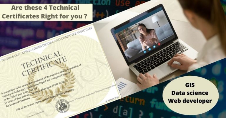
The realm of GIS conferences offers unparalleled opportunities for learning, networking, and staying up-to-date on the latest advancements in the field. The top 10 conferences highlighted in this article provide a diverse range of experiences, ensuring that professionals at every stage of their GIS journey can find an event that suits their needs. For those seeking to further enhance their GIS skills, obtaining a GIS certificate online is a flexible and accessible option. So, an online GIS certificate program such as Bootcamp GIS is the perfect place to pick up new skills and stay relevant. It’s cheaper than traditional university certificates or degrees, can be completed in as little as 6 months, and is full of practical industry workflows taught by active industry professionals. As a result, embracing both conference attendance and online certification can truly propel GIS enthusiasts toward excellence in this dynamic and ever-evolving field.