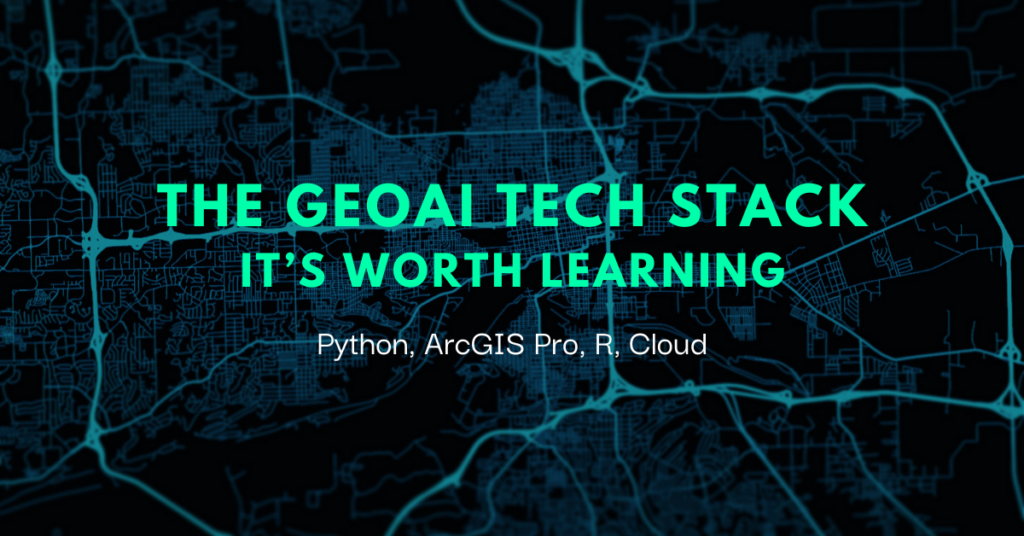
The GeoAI tech stack – It’s worth learning
How Does GeoAI Interact With Tech Stacks?
In the ever changing field of technology, innovations such as GeoAI are reshaping our interactions with traditional geographic data. GeoAI is the fusion of Geographic Information Science (GIS) and Artificial Intelligence (AI). By combining the spatial prowess of GIS and the intelligence of AI, geospatial artificial intelligence offers a transformative approach to analyzing and interpreting geographic data. Nowadays, where data is abundant and diverse, GeoAI provides much needed spatial context, which enables rapid, informed, and efficient decision making in various scenarios. Let me show you the significance of GeoAI and the required tech stack you should learn to harness its potential.
The Traditional GIS Analyst Skillset
Before the integration of GeoAI, traditional GIS analysts relied on tools like ArcMap and ArcGIS Pro for spatial analysis. Although integral, the limitations of these tools became apparent as the need for real-time insights and predictive modeling grew. Prior to the advent of GeoAI, the GIS tech stack has been fairly narrow map applications and relied heavily on human interpretation. Although incredibly necessary in any computer or machine related function, programs such as Python, ArcGIS Pro, R Statistical Software, and the Cloud have combined to grow a new segment of GIS developers that can build GeoAI applications.
What Are the Building Blocks of GeoAI Tech Stack?
The modern tech stack commonly uses the following programs, Python, ArcGIS, R, and AWS for geospatial data analysis. Let’s break each down.
Python
Python is a versatile programming language. It supports many models and is most often used for data manipulation, analysis, and scripting. Luckily, Python has become rather popular in recent years and there is no shortage of courses if you find yourself interested. Coursera, for example, has free courses that could be completed in approximately 19 hours. Other programs like Google or Microsoft are also available. And best of all, it’s a free course.
ArcGIS
ArcGIS is a geographic information software suite developed by Esri. It provides tools for mapping and spatial analysis, which allows you to create, edit, analyze, and visualize geospatial data. Often in the form of interactive maps. Through Esri’s online training, you can learn the basics of ArcGIS for free. I recommend ArcGIS Online Basics, though there are plenty of other GIS courses available. The course I recommend will take approximately 1 hour and 50 minutes.
R Statistical Software
R is a programming language specifically designed for statistical computing and graphics. Codeacademy offers a certificate of completion following their course for beginners, which takes 14 hours to complete. The course is free if you audit it, though obviously you won’t be earning the certificate.
AWS
AWS is a cloud computing platform provided by Amazon. It can be used to host applications, store large datasets, and perform computationally intensive tasks. It provides infrastructure and services to support geospatial data processing and analysis. You can find training courses and certification on the Amazon site with either a free, individual, or team subscription. You can learn a combination of these technologies through project based GIS courses online. This is one of the fastest ways to become skilled in geospatial programming and data science. Also, you earn the ability to develop intelligent GeoAI models.
GeoAI Models Within Esri ArcGIS
In the context of ArcGis, GeoAI plays a crucial role in improving response time by cutting down on the delays associated with human analysis of vast areas, especially during emergencies.
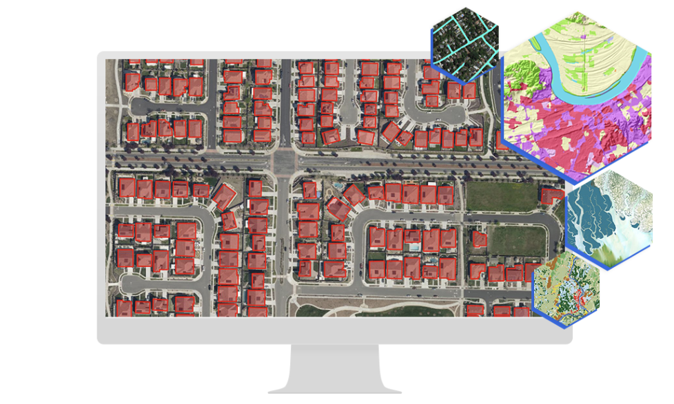
In the example of natural disaster scenarios, the integration of AI significantly reduces analysis time. AI quickly identifies objects and enables more effective decision making by actual humans. GeoAI excels in detecting objects from imagery and videos, and can identify various elements such as buildings, road segments, and vegetation overgrowth. Moreover, it is invaluable in predicting geospatial events and phenomena, ranging from water pipe breaks to asthma rates. GeoAI models can now be found within ArcGIS as one of the functional areas that is growing the most quickly. There are resources online where you can learn ArcGIS and the new GeoAI models that are included.
How Will GeoAI Benefit Us?
As you see, GeoAI is a rapidly growing field and if you learn the right skills you could find yourself doing some of the most cutting edge GIS work in the industry. I want to show you what skills will be needed in the near future, so here are some applications that will inevitably grow with the integration of GeoAI.
Self-driving cars will be made more efficient as GeoAI will provide high-precision mapping and real-time spatial awareness. it will lead to more accurate navigation, ensuring passenger and pedestrian safety. Additionally, routes can be optimized based on real-time traffic, weather, and road incidents, improving both efficiency and reducing travel time for users. For businesses, GeoAI will provide them with location-based insights and allow for targeted and personalized marketing. Businesses can then tailor their ads based on geographical preferences and interests of their target audience by mapping customers. In my last example, GeoAI will be able to facilitate environmental impact assessments for alternative energy projects by considering the geographical context in order to evaluate potential environmental effects and ensure development.
Include GeoAI in Your Continuing Education Plans
Learning the GeoAI tech stack is not just beneficial but essential. The integration of GeoAI enhances decision-making and will only make the lives of everyday consumers of products listed above easier. For those looking to find a job in this growing sector, I have a suggestion. An online GIS certificate program such as Bootcamp GIS would be the perfect place to pick up new skills and stay relevant. It’s affordable, (cheaper than traditional university certificates or degrees), worth your time (6 months compared to the traditional 12), and full of practical industry workflows (courses are taught by active industry professionals). GeoAI is the future and you should invest in learning this tech stack to improve your marketability.