Online Degree in GIS: your 3 options to gain this high tech skill
Today many students venture into the GIS Programs career path, given the rapid rise in mapping technology, data, and applications. You probably take for granted the real-time-location based services (LBS) that give you directions or show you where your package is enroute to delivery. Everyone knows what ‘Google maps” is, but the lesser known supporting technology is the Geographic Information System (GIS). There are 5 key reasons why the GIS industry has a projected growth of $18 billion by the year of 2023: more niche companies, more data, new analytics, powerful servers, and online learning channels. Now there are many ways to learn this skill with courses, certificates, and degrees offered in schools across the United States. With some instruction, some widely available data, and some ambition to tackle projects, you can learn GIS and form a career.
What is GIS?
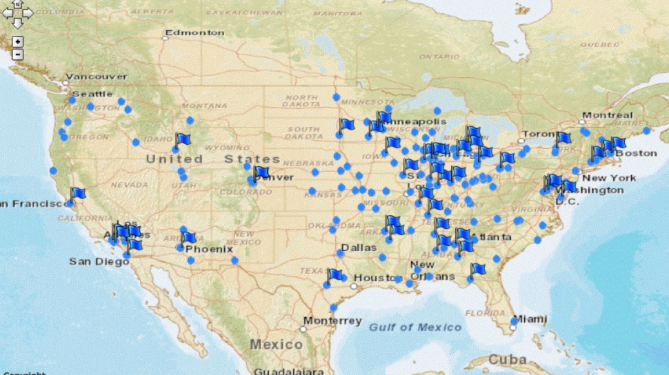
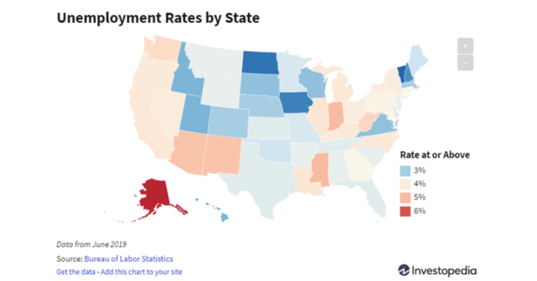
The main idea behind GIS is its ability to link a database to a map. The database could be storing any type of data such as endangered species, weather, or cell towers. Click on one feature such as a cell tower point, and see the range of service and calculate numbers of households within that range. The map will illustrate where you are doing well and where you require action, like a second cell tower, for a better outcome. Another example is when hydrologists and engineers use GIS to determine where the supply of water is at the most significant risk from source to residential delivery. Extending upon this, you can map out all of the residential services we receive such as electricity, fuel, packages, trash collection, and emergency services. Additionally, GIS can also impact how we plan for our future by providing a broad scope of improving designs and strategic plans such as a new stadium proposal. In this case, real time data from satellites or UAVs (drones) can be used to generate the 3D models that are shown to the public to get them excited. So it’s easy to see how GIS plays a massive role in analyzing many aspects of society using data in almost every field.
What you need from your GIS education
Today, students have a variety of options in education and there is more focus on student centered education that serve these needs:
- Cost
- Start time
- Duration of program
- Context specific applications
- Instructor backgrounds
- Delivery (onsite or online)
To meet these needs students have traditional and new Edtech models to offer better student centered experiences. Offerings are designed to meet a range of ages including tech bootcamps for teens.
GIS certificate
Getting a GIS certificate is an efficient way to get a GIS introduction, software skills, and a range of topics. Different universities offer a GIS certificate which averages about 15 units of courses over the period of a year. You can also learn software specific skills in a certificate from Esri. And most practically you can learn applied skills through project-based courses with the Bootcamp GIS certificate. With this last certificate you may find a career advantage when you are taught by people in industry and can be networked to opportunities. GIS certificates are quicker to complete and thus less costly. So these are a good fit for someone trying to get a tech job without a degree or quickly add tech skills to their existing degree.
Degree in GIS
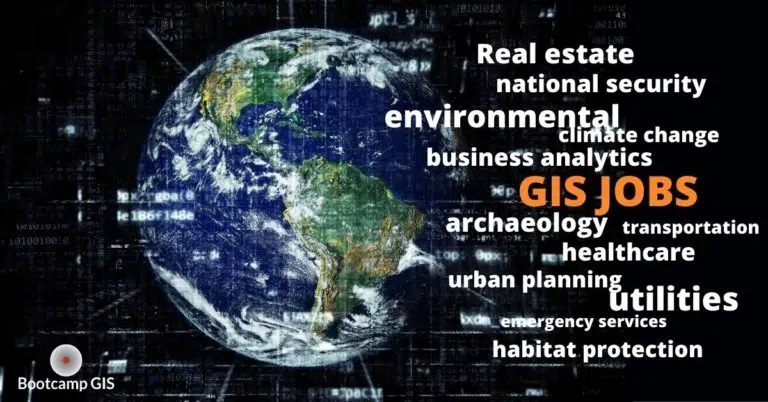
You want to pursue a versatile degree that lets you apply geographic mapping principles to anything you are interested in. Many schools provide GIS degrees in the geography departments. A college GIS degree introduces you to GIS with standard courses in databases, modeling, and remote sensing. Moreover, it also introduces students to all the possible vertical industries that students might like such as healthcare, business, mathematics, or environmental as part of their curriculum. Within a GIS degree you are encouraged to think about how this skill could be applied as you complete GIS lab exercises. It is unlikely that your high school counselor has pointed you to this college degree path, but it certainly is a viable technical career with gainful GIS Salaries.
MGIS Degree
If you’re interested in pursuing teaching or research in this field, Masters GIS programs in universities are the best fit for you. Plenty of universities around the United States provide Master GIS programs for students. It includes tons of research opportunities for students to analyze data and come up with solutions for many real life problems. At the same time students get to design and produce their own geospatial technology applications on their own. For example, the graduate students and professors in John Hopkins University used GIS skills to create a digital map for tracking all the COVID outbreaks and related information. A Masters degree usually requires you to figure out a new aspect of research by completing a dissertation. This sets you up to go further as a PhD student which is eventually the requirement for most universities to be a tenured professor. And thus you could be in a wonderful career leading others into the GIS field.
Maybe you have less time or less funding. Look at the instructors, and judge how applied the curriculum is. After all, this is a tech skill and hiring managers will ask, what can you DO. As you can see there are lots of options with programs near you or online so think about this as a meaningful career that is within your reach!