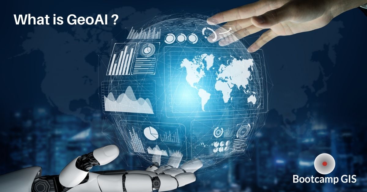
What is GeoAI?
GIS and Artificial Intelligence
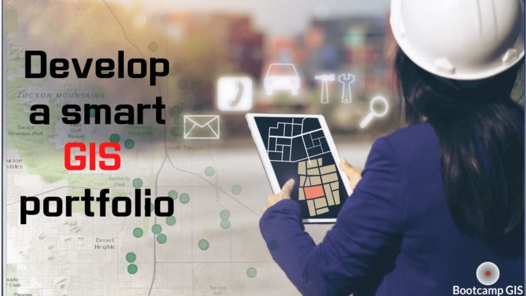
If you want quick entry into a technical career, longevity with your GIS analyst skills, or upward mobility as a GIS integrator, you should race toward learning how GeoAI will change your role. Everyone has heard of Artificial Intelligence (AI). It’s the automation of tasks based on the learning of behaviors to produce new information. For example, you searched for Adidas shoes on the internet? Then a web browser will strategically place other ads for athletic shoes based on your behavior.
So what is GeoAI? It’s the addition of location in this scenario. I want to send ads to people about athletic wear for the University of Michigan if they have traveled within 20 miles of the university. This advertising example is easy to understand, but we are at the cusp of realizing many other applications. A Geographic Information System (GIS) is already able to help people comprehend spatial patterns, tendencies, and relationships. So now we explore the ability to pair AI with GIS to locate, automate, and tell you something new. It may be helpful to view GeoAI for Dummies which has simple sketches of the core concepts.
Types of applications that benefit from GeoAI
Directional routing, GPS positions, aerial imagery, and geographic databases are commonly used in many applications. These are used to show you What is happening Where. The potential of the next AI level is to predict the location of future behaviors, events, or trends. These modeled predictions have been winstrol donne prima e dopo happening with weather forecasts for a long time. But with AI automation, this could be done instantaneously for individuals.
Transportation is one of the most dynamic areas because vehicle locations change on a second by second basis. GeoAI can help you to avoid traffic, avoid obstacles, track packages, route vehicle fleets, and map supply chain movement. Furthermore, we are about to experience a massive need for self-driving vehicles. Here Technologies is one of the companies that is building the data and intelligence for the car maker industry. GeoAI will be central to the computational brain that moves a driverless vehicle from point A to point B.
In crisis areas, the need for automated mapping is critical. UN Global Pulse, together with the UN’s GIS teams and other UN partners, have been researching and developing technical methods of using AI for the processing of satellite imagery. This work has been used to map refugee camps and automatically derive locations and numbers of dwellings; automate the production of flood maps; automate damage to structures and events detection over large geographic areas of interest. The UN GeoAI Working Group is setting up an open source platform to meet these needs.
The military analyzes geospatial data namely terrain categorization and map imagery for helping the military know the operational environment. They use a program called Situational Awareness Geospatially Enabled (SAGE) It helps commanders know the safest routes that avoid enemy exposure. Plug in variables and you get automatic geographic results that can ultimately save lives.
In business marketing, there is a GeoAI tool called SAS Visual Analytics that estimates the demands of consumers and marketing analysis to help get the highest profits. It also provides valuable insights to corporations by linking business and geospatial data. We have never seen this need more evident than the supply chain bottlenecks during the pandemic. GeoAI will be essential to determine which stores are out of product and which levers do you need to pull to move the product to those locations. To do this, will require an analysis of your business where you will see many benefits of mapping your supply chain.
Healthcare GeoAI has enormous potential to draw out trends in infectious disease, epidemiology, and environmental health. GeoAI helps in forecasting and monitoring the spatial distribution and effects of diseases. This can be done by measuring behaviors affecting health information in unique ways. For instance GeoAI could monitor food delivery from Uber Eats to analyze sedentary behaviors and obesity of people living in specific areas.
Cities are starting to use GeoAI for mapping and predicting incidences of crime. It’s proven that if you place more police at the times and locations where crime tends to happen, then crime rates go down. This requires a good database with a volume of data which represents criminal behavior. Then your predictive logic can help inform you how criminal behavior changes as circumstances change: during different weather conditions, tourist travel periods,, or when a big event comes to town. Being well informed with GeoAI analytics can save lives.
Esri is developing GeoAI solutions
Esri is the largest software developer in the GIS space. And they are working on GeoAI tools. There are more than 30,000 companies that use Esri. Esri developed ArcGIS for analyzing data, creating maps, and sharing data. They are expanding in their integration of modeling, AI, and machine learning to produce more GeoAI projects with ArcGIS. Like most data analytic centric companies, Esri will be a leader in showing organizations how they can benefit from the future impacts of GeoAI.
Resources to learn GeoAI
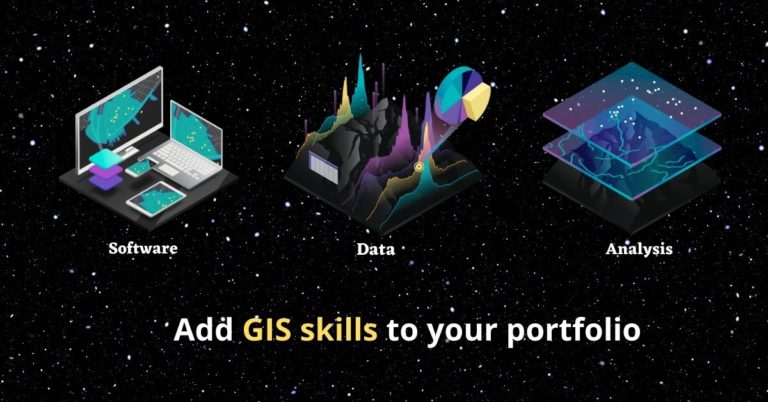
Since this subdiscipline is so new, learning GeoAI doesn’t really have any formalized programs to speak of. You will have to pick and choose from different sources and technologies to build your portfolio. This can include:
- GeoAI and Deep Learning has resource videos and articles
- Learn Python to write a data science mapping model is a short course that introduces a Python development environment to help you produce a map dashboard output.
- Coursera credentials for AI and machine learning can be earned here which provides several top AI and machine learning courses
- Deep learning in GIS is a video created by Esri to show how ArcGIS can manifest deep learning benefits in different areas
Being resourceful in your learning can pay great dividends.
Conclusion: GeoAI is full of opportunity
Learning how to build GeoAI related applications can be a great career move in this exploding vertical area. This will add promising value to your portfolio as you compete for the highest paying GIS jobs or look for increasing opportunities in remote GIS jobs. The AI industry is growing by 39% CAGR over 5 years and the GIS industry is approaching $18B worldwide. If I were starting my technical education today, I would jump on a learning path of courses, certificates and projects in these areas:
With the advantages of EdTech platforms, these are skills that can be learned and practiced in months rather than years. So we encourage you to build your portfolio with long-term relevancy by getting GeoAI focused. I believe you can get useful information by joining our courses. Let’s get started if you want to build up your knowledge of GeoAI and get more opportunities in the future.