What is GIS Mapping? 3 reasons why your career needs this skill
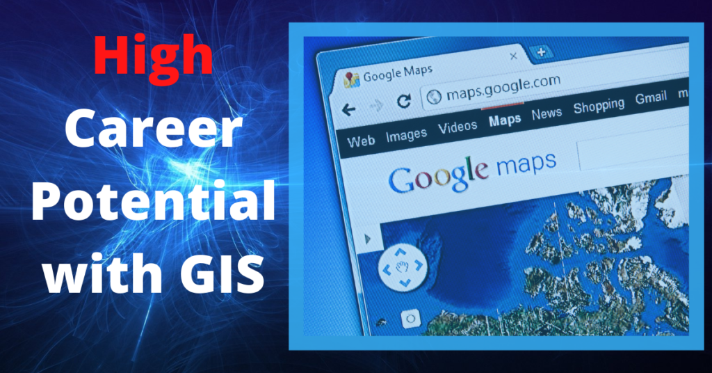
GIS mapping (Geographic Information System) is used by most people everyday. It is based on the connection of data to a location. Once you have a geographic database, you’re able to query it to find useful information like: Where is the cheapest gas, where is my package, and where is the boundary of a nearby wildfire. GIS analysts edit data, perform analysis, and develop applications to allow you to make these queries. If you have GIS software skills you can be part of the $18B surging GIS sector.
GIS is the central data hub
Most organizations that set up a GIS, leverage it as the central data hub where all the necessary information for future analysis is stored. GIS collects spatial data such as demographic statistics, geographic records, and geospatial images. Picture your city that has to manage millions of objects: streetlights, water lines, signs, trees, etc. to keep the city running. To perform operations and maintenance of these features, you need to know where they are to make a work order. When this information is stored in a GIS, it can provide your staff with the ability to know WHAT needs to happen WHERE.
GIS applies to any discipline
One of the reasons that GIS mapping is steadily growing is that it can apply to many different disciplines such as biological, business, health, environmental, and socioeconomic industries. GIS technology is widely used amongst conservation biology to keep track of things such as invasive species and landscape ecology to preserve healthy ecosystems. In business it can be used for marketing purposes as it can provide demographic, geographic, purchasing, and spending characteristics to categorize prospective customers. We continue to grow in the health industry as we have seen it expand during the COVID-19 pandemic. GIS can help determine the how and where a disease has spread, as well as the percentage of the population it has affected. One of the best examples of this is the John Hopkins COVID-19 map. In environmental science, GIS gathers data and trends to keep track of climate change and natural disasters. For example, during the summer in the west coast, this is extremely useful to monitor wildfires. Another use of GIS is socioeconomic analysis that can be used by government agencies like the census that oversees socioeconomic development to enforce inclusive policies. With so many uses of GIS , it becomes a sought after skill that people seek to enable their careers.
GIS data visualization supports quick decision making
The world has increasingly become data driven and real time. So many decisions depend on being informed by a good platform. A GIS provides the decision maker information depicting the necessary data to visualize and answer two very important questions: What issue are we trying to solve and where is the issue located? You can answer these questions if you have good data, map visuals, and map applications. Rather than looking at plethora of spreadsheets and text documents, we often find clarity when looking at maps like: Wildfire spread, Property Tax, Building Interiors, COVID Infections.
Get marketable with ArcGIS mapping
One of the ways to tech enable your career is to gain skills in ArcGIS mapping. ArcGIS is the predominant industry software used in digital mapping and GIS project management. This software is constantly sold and distributed by ESRI all around the world. Learning and becoming certified in this area can help you grow and become more marketable in many agencies around the United States. If you are the GIS analyst that not only makes maps but administers the GIS system, you become pivotal to your organization’s quick decision making and can attain close to 6 figure GIS salaries. The tech is always changing with the introduction of cloud, mobile, and GeoAI applications, so look to modern education platforms to learn a how to get a GIS certificate or take online classes.
Conclusion: Learn Enterprise GIS skills to become marketable
Overall, GIS is extremely important for a successful organization because it holds and displays imperative data. Since the usage of GIS is so broad, no matter what field you are in, if you have the ability to edit, analyze, and visualize your data, then you are indispensable to your organization. So if you are looking to earn a GIS Certificate with applied GIS tech skills, you will be entering the world of digital mapping that serves over a 1000 great missions.