3 ways GIS Certificate promotes sustainability
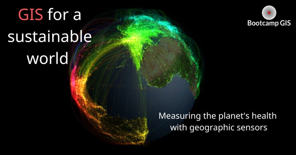
The idea of a sustainable world
The whole world is facing a challenge – sustainability. How can we use less resources than the world can naturally produce? The environment must be stable to continually provide resources to sustain human life. We conceptualize a sustainable world today as one that meets the needs of people and future generations while maintaining the life support systems of the planet. A Geographic Information System (GIS) is a critical tool used in mapping threat indicators to sustainability.
1 Use GIS to measure environmental parameters
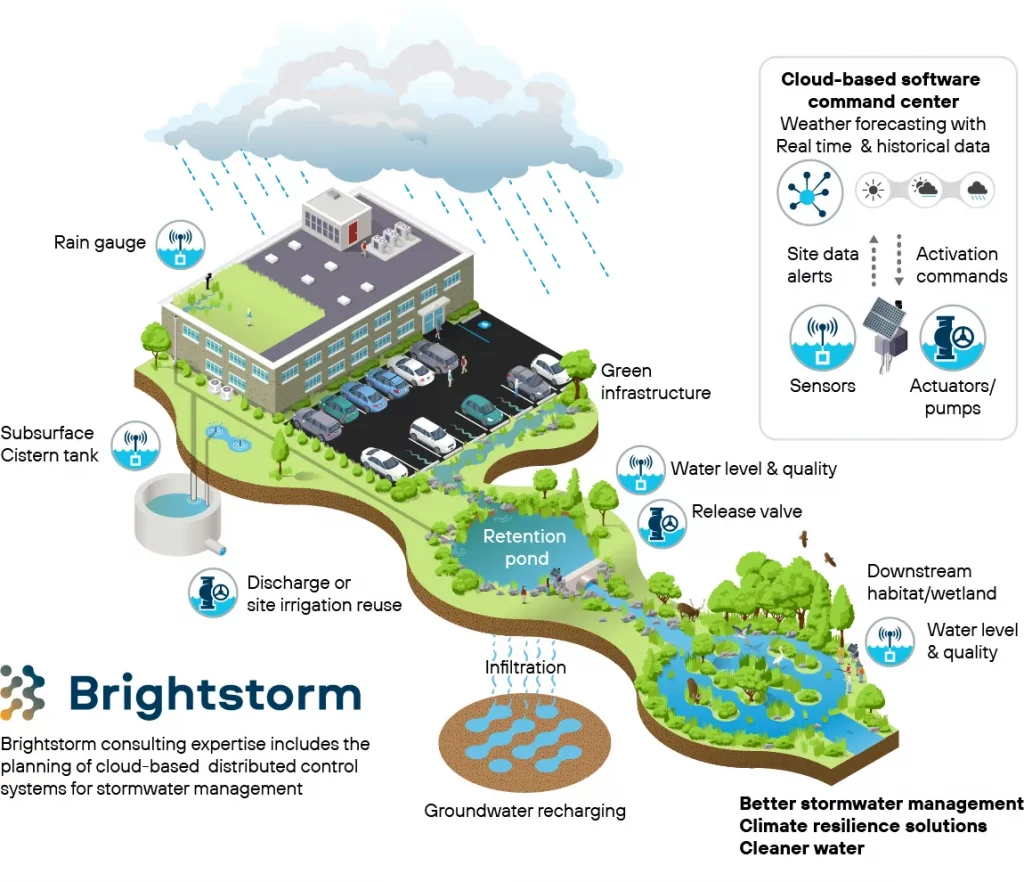
In the above graphic you see that rain runoff from the city impacts wetlands and groundwater. If we allow pollution to get into the groundwater, then the city is not sustainable without a water source. A GIS is the set of technical data, tools, and analysis that can measure environmental health. Here is the workflow:
- Frame a question to address a geographic problem.
- Identify necessary map layers and tools.
- Apply filters and query expressions.
- Make a map to share analysis results.
These days there are so many types of data collection devices and sensors to capture this data. Unmanned Aerial Vehicles (UAVs) are growing into a multibillion dollar industry. Get your commercial pilot license and learn how to process geographic drone imagery for many types of projects. Sensors in the ground that can measure moisture or soil chemistry that can detect pollution or crop yield. And smartphone SMS and image sharing that can convey many things from a real time scene or be evident as trends and behaviors on social platforms. Analyzing social behavior is now a massive area in the field of data science as we think about climate change attitudes or feelings about elections.
2 Develop a Geodatabase to track changes over time
GIS is an important tool for designing and implementing sustainability processes around the world, using spatial data analysis and mapping techniques to make a significant contribution to a sustainable world. GIS platforms can track ecological changes and people’s use of land through large databases. These geodatabases affix tabular attributes to location. The result is that any point, line, or polygon feature can be described by text or numeric values. The data can be queried with locational comparisons across attributes like elevation, temperature, rainfall, vegetation type, and ownership. The results allow you to look at time series comparisons to really see if climate, habitats, or agricultural production are changing. Then you can make decisions in local programs and government policy.
3 Use GIS visualization to support decisions
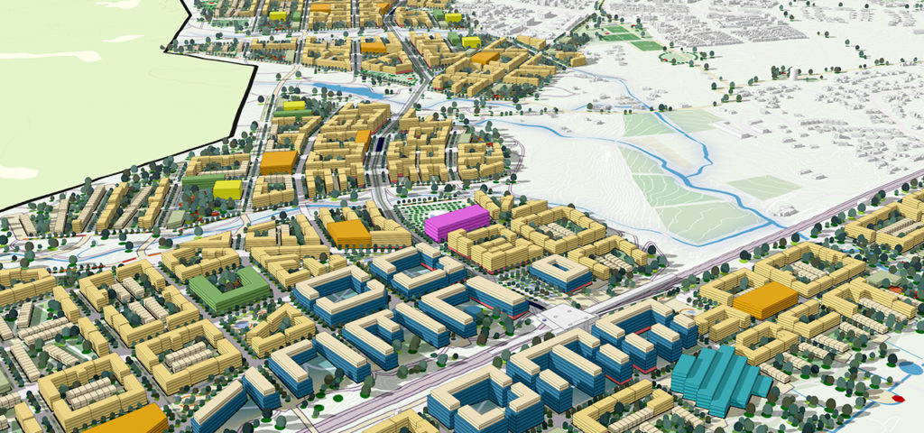
Data Visualization elements include coloring, map extent, labels, statistics and 3D. GIS data visualization helps to capture, store, and visualize weather changes, environment, and ocean data. 3D data visualization is an important part of GIS. This means that we can see the scale of the data and topographic relief clearly on the map. Want to build a new stadium, new airport, or new hospital? It is common to geographically visualize it first and get public buy in for your project.
In addition, there are now applications dedicated to GIS data visualization, such as MODE, NOAA, Zoho, etc. These are all data visualization and analysis tools and platforms. The platforms use mapmaking and spatial data analysis to help people make their smart city decisions. In this way, better decisions can produce smarter cities with more sustainable development.
Career in GIS
So a GIS is the tool that can prove whether or not your development is sustainable. It is used to help people manage water resources, forest resources, and urban planning. You can learn the basics through the Esri platform, or you can take courses from the Bootcamp GIS course catalog. An applied GIS certificate might be the tech upskilling that you need. In a short period of time, you could ramp up your portfolio by learning mapping applications with UAVs, data science, and web development. These skills will make you competitive with many GIS jobs because these are the common technical areas that you can combine with your field of study to produce insights.
So, how can you find the right GIS job for you? Go to the main job platforms: Indeed or ZipRecruiter. Then enter your personal information and geographic location along with the keyword ‘GIS’. This keyword alone produces almost 27K results. So find a job that suits you as it’s a wide open field.