Is a GIS Certificate worth it?
What is GIS?
We are used to using Google Maps without knowing the engine behind it. Think of it like a map connected to a database. A Geographic Information System (GIS) is a framework that provides you with the tools to capture, analyze and display spatial and geographic data. GIS is used across multiple industries such as urban planning, supply chain management, banking, and environmental protection. This means that with GIS, a City planner could find the ideal location for the new hospital so that it is at the epicenter of the population. A Banker can calculate the probability of a prospective loan being paid. A Virologist can use GIS to create a map of COVID-19 cases. The applications of GIS are endless which is why more and more industries have a need to hire people with a GIS Certificate. See the Top 5 reasons the GIS sector is surging to learn more.
Develop a focused GIS skills resume
Everyone’s got data. Be a pro at managing, analyzing, and presenting it. Sky- Learn to use UAVs or aerial drones to collect data. Ground- Learn how to collect GPS and smartphone data. Cloud- Learn to set up and manage server based mapping applications. Database- Learn how to load and store data from various big data sources. Computation- use GIS and data science to extract knowledge and trends
What can I do with a GIS certificate?
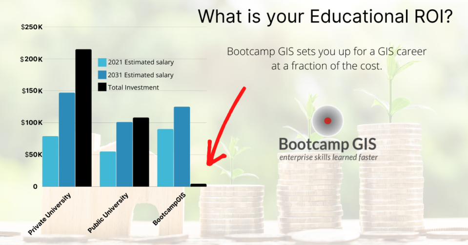
College students with various degrees often find themselves lacking technical skills and GIS is an excellent fix. A GIS certification provides a lot of utility to a resume. But make sure your curriculum gives you a blend of IT with cloud, mobile, and data science. If you do this, you’ll be more attractive to employers who will compare you to another candidate that has made simple desktop maps. Once you become proficient with GIS, you will be able to work in cross functional teams, and seamlessly transition across industries. A GIS certificate online also provides a great return on investment. Getting GIS certified is significantly cheaper than traditional education and can be completed in 6-12 months. The final advantage of being GIS certified is that you increase your marketability to compete for any of the current 22,600 jobs seen in the GIS Jobs Report, 2023.
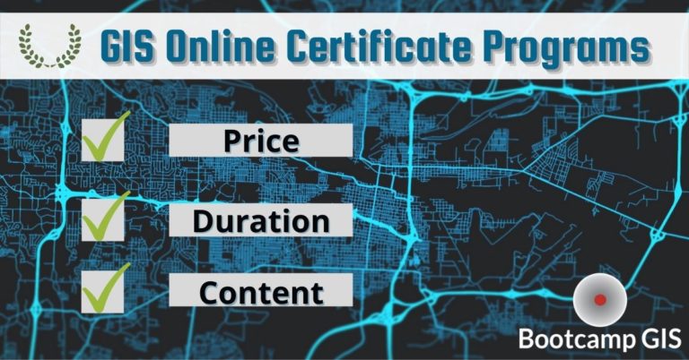
What is the best GIS certification program?
There are many GIS certificate programs but you should evaluate the curriculum so that you don’t pay for a program that gives you low level or outdated skills. Here are some tips to find the right fit for you.
- Do you see courses that interest you?
- Are the instructors from industries that use GIS?
- How long is the specialized course?
- Are the classes flexible to fit your schedule?
- Are the instructors willing and able to teach online?
After some research, you should be able to find a program that best fits you. You might want to compare courses to these online GIS courses at Bootcamp GIS to see if you are getting the project based skills you need. Then get cranking to complete some courses, do some networking, and you are on your way to a meaningful career. To help you with your educational shopping, here are some good industry comparisons of the top 10 best GIS certifications.