How COVID-19 affected the Supply Chain
Remember at the beginning of the pandemic when we were stocking and maybe even hoarding some everyday essential supplies? There were some major shortages in the supply chain right off the bat. Ranging from toilet paper all the way to baby formula. This has forced us to identify weaknesses in the supply chain and required us to innovate and adapt the system. In comes the digital computer-based tools like GIS, where businesses can now start mapping the supply chain. You may ask what is GIS? GIS stands for Geographic Information Systems, which create, manage, analyze, and map various data. As we will see throughout this article, GIS is a central decision making tool. It helps define location and timing to bring avocados to your grocery store or a part available for your car.
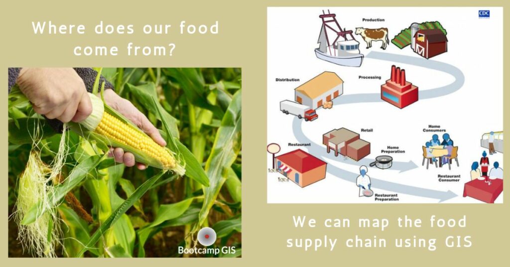
Mapping the Supply Chain
Our food system is in a constant state of fluctuation. Applications like GIS mapping online can help our food system by reducing waste and possibly preventing shortages. Advanced data analytics map out the timing and path of how our food gets where it needs to. Let’s look at our banana supply. How do our bananas almost always make it to your grocery store at the peak of their ripeness? The average travel distance for a banana is between 1100-2400 miles. That’s quite a journey for that banana to get from the farm our plates. Throughout the journey, that banana or any farm to table produce has numerous pitfalls. Delayed ships in port, manpower for trucking, and temperature control failures on trucks can interrupt the journey to our plates. Resulting in roughly a third of all the world’s food is lost to food waste.
GIS Tracking
We have the need to use technology to track our foods and help cut food waste wherever we can. With GIS analytic tools we use it to map as much of the food supply chain delivery system as possible. From there we can form better predictive models for where production, transport, delivery, and waste can get to the highest level of efficiency. Here are some examples: 1) Knowing the source of foods to track back the originations of E.coli outbreaks. 2) Food abundances or shortages are calculated to reallocate food delivery. 3) Agricultural agencies use it to support and push for pesticide regulation to protect our health.
What are the Supply Chain Weaknesses for our Food?
The global food supply chain is fragile and consists of a complex web of players. With a handful of powerful multinational corporations control close to 80% of the items found on our grocery shelves. Couple that with other monopolies like Monsanto that have engineered seeds to dominate their industry. They now produce around 80% of corn and 90% of soybeans grown in the United States. The result is that 75% of the seed diversity has been wiped out over the last century. When we add these together we could be setting ourselves up for a major famine. Possibly through crop failure of dominant seed strains that could become vulnerable to a disease. These are just a few of the many weaknesses of our food supply chain. This is why data tools like GIS are extremely useful to warn us about possible problems awaiting us through data analyzing and prediction models.
How can we Apply GIS?
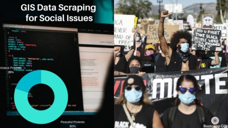
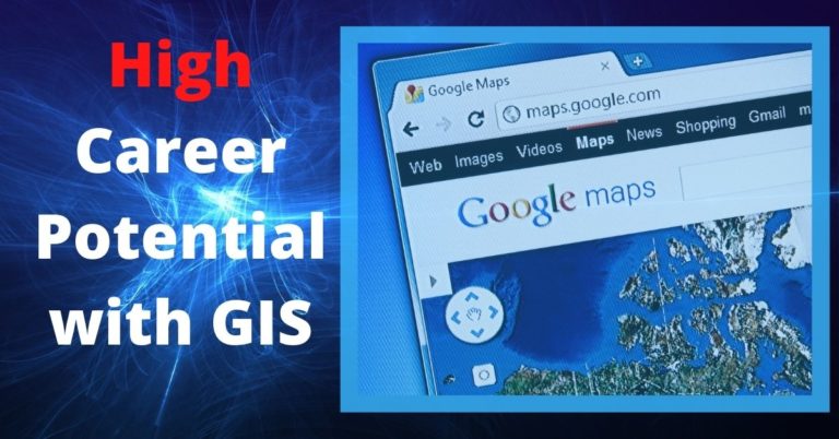
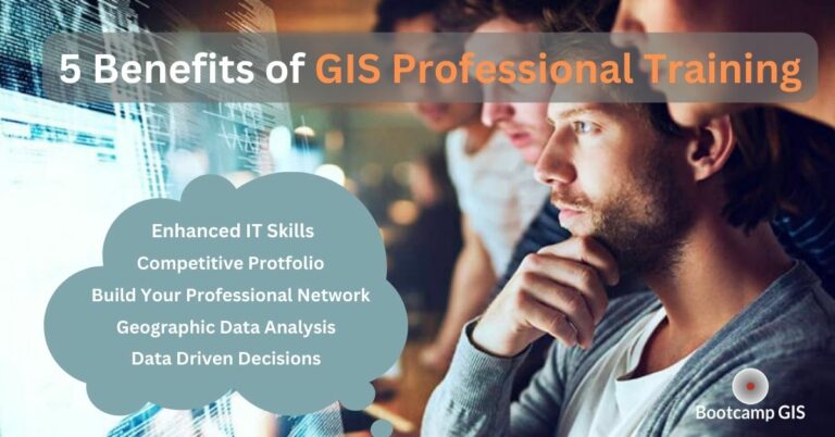
Supply chain mapping is just one way to use GIS. GIS has hundreds of applications and is one of the fastest growing tech industries. Other practical professional uses can range from mapping crime, to resource management, to mapping climate change. Whatever your professional path may be, if data is important, GIS can be a powerful resource. A career in GIS is something to strongly consider. GIS analyst salaries are averaging $81,857 for their base pay and annual GIS industry growth rate at around 35%, it’s worth looking into GIS training. Online GIS certificates are readily available, affordable, and can be completed in less than a year. GIS certification websites offer various GIS courses and programs to help you specialize in the field you are most interested in. Book your free advisory session for a GIS bootcamp to learn more about how quickly you can become certified in GIS.